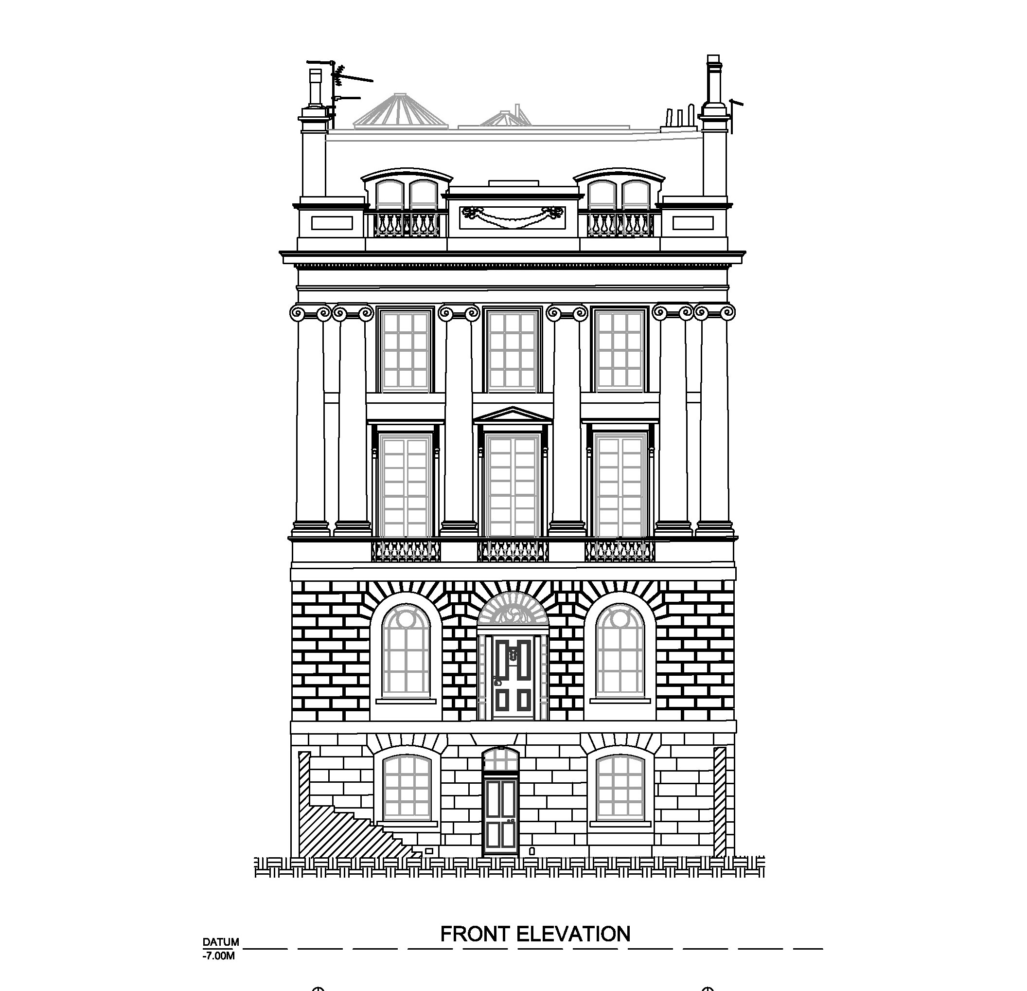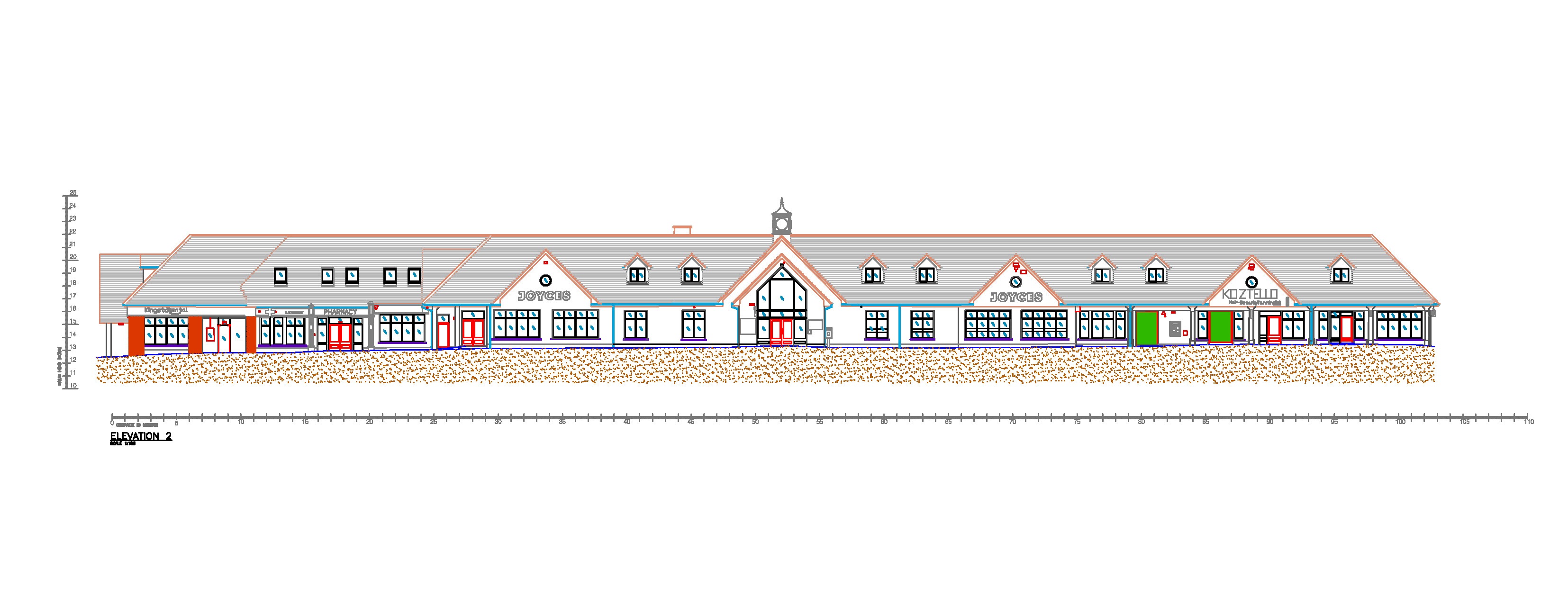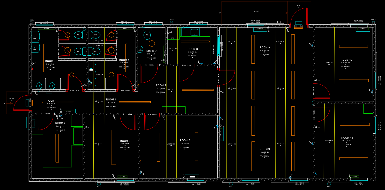
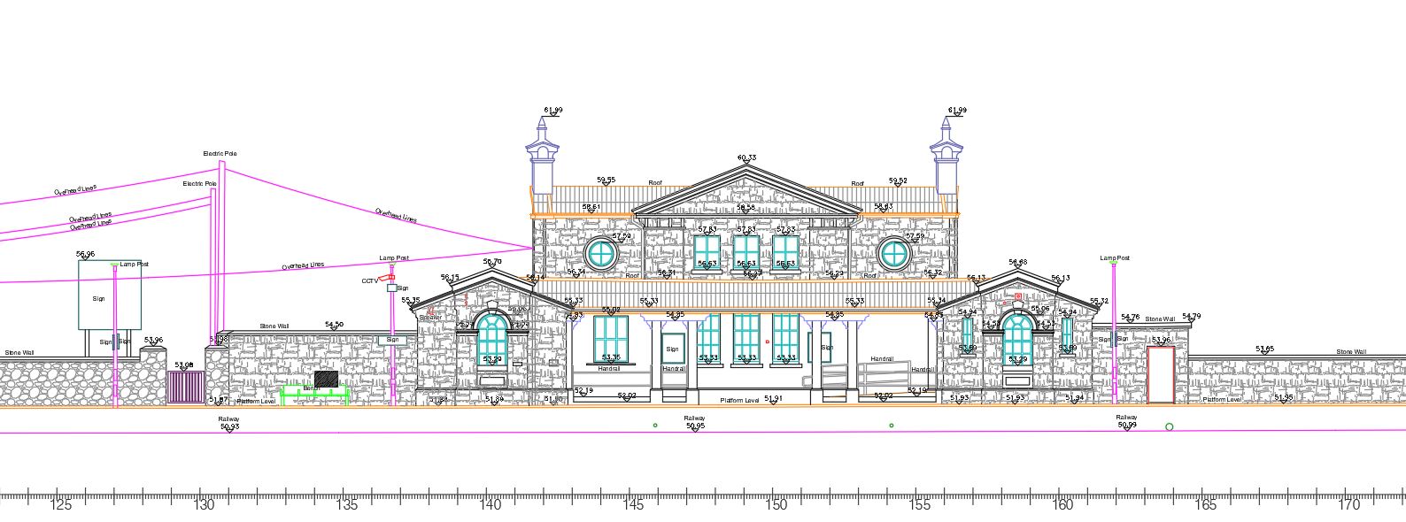
Our ‘ Point Cloud to 2D CAD ’ service transforms your Point Cloud scan data into precise 2D CAD Drawings.
Our rigorous Drawing and QA process meticulously checks UCS, Alignments, Tie points, and more, ensuring our accuracy surpasses industry standards.
Let Geospatial-CAD be your trusted partner in delivering consistently good projects.
Contact us at Quote@Geospatial-CAD.com
Geospatial-CAD is a trading name of Innovologies Ltd, a company registered in England and Wales (Reg No 15282719)